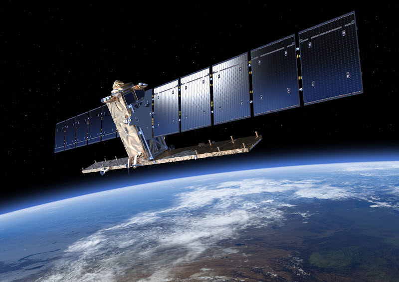
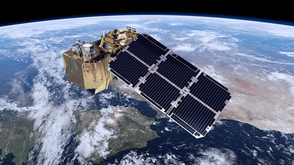
The project includes mutitemporal/multisensor processing and analysis of satellite imagery with the aim to identify new potential areas to investigate and monitoring ground motion in order to preserve archaeological sites.
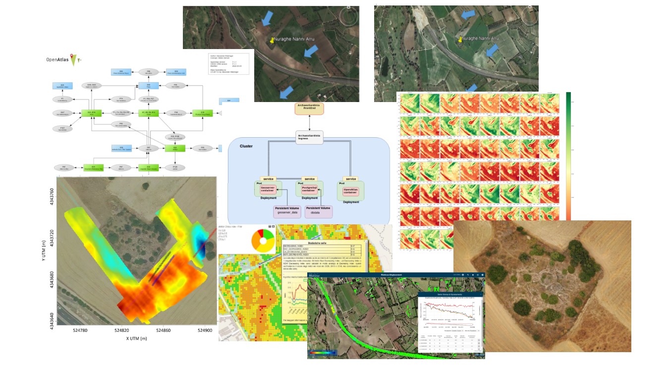
The project follows European standards such as CIDOC CRM which "provides definitions and a formal structure for describing the implicit and explicit concepts and relationships used in cultural heritage documentation " and OpenAtlas, an open source software developed to manage data from archaeology and cultural heritage.
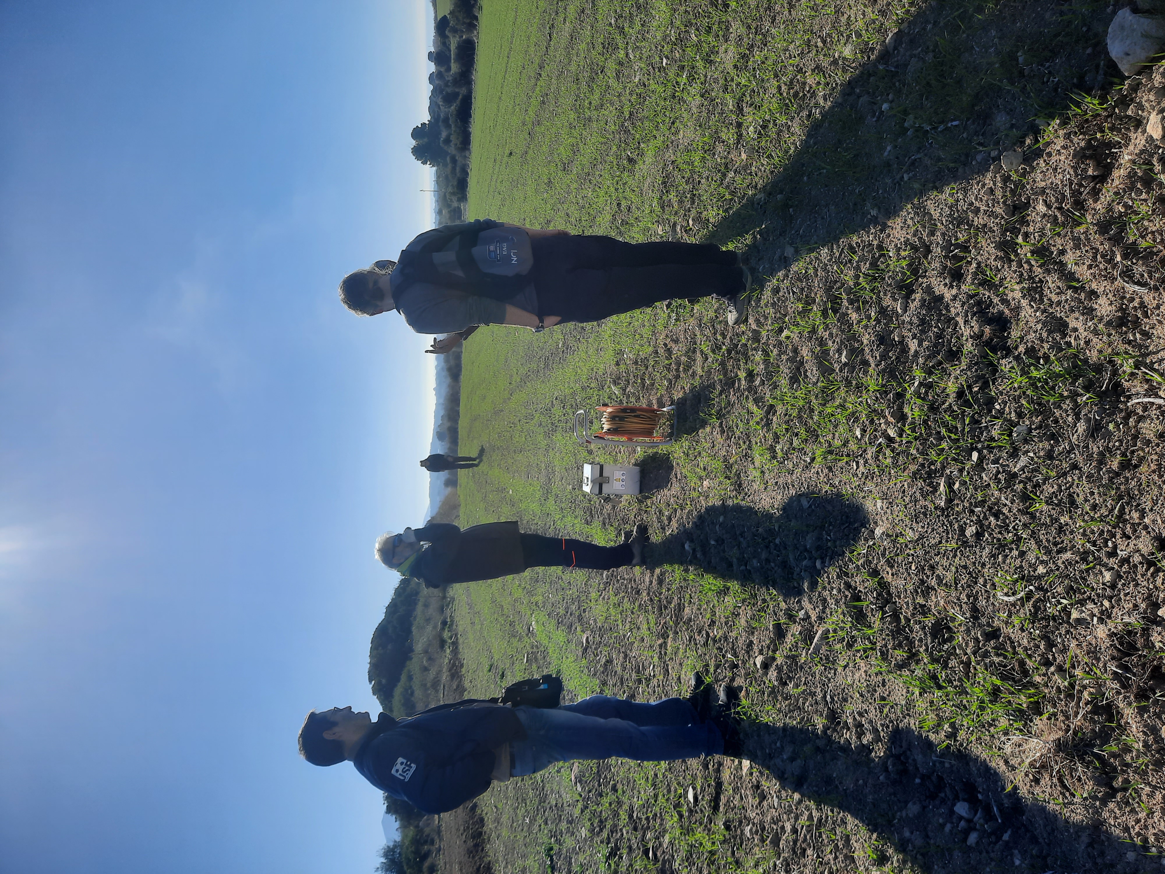
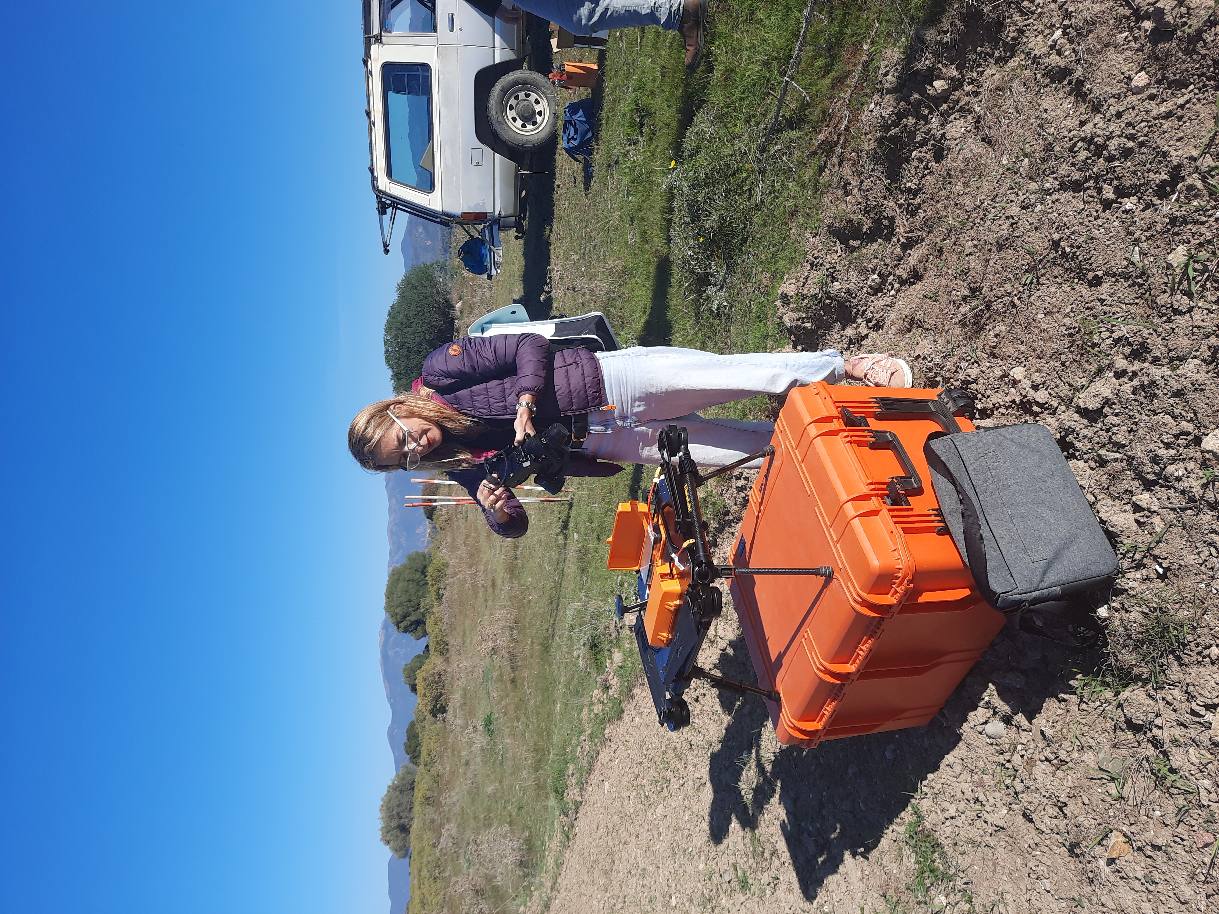
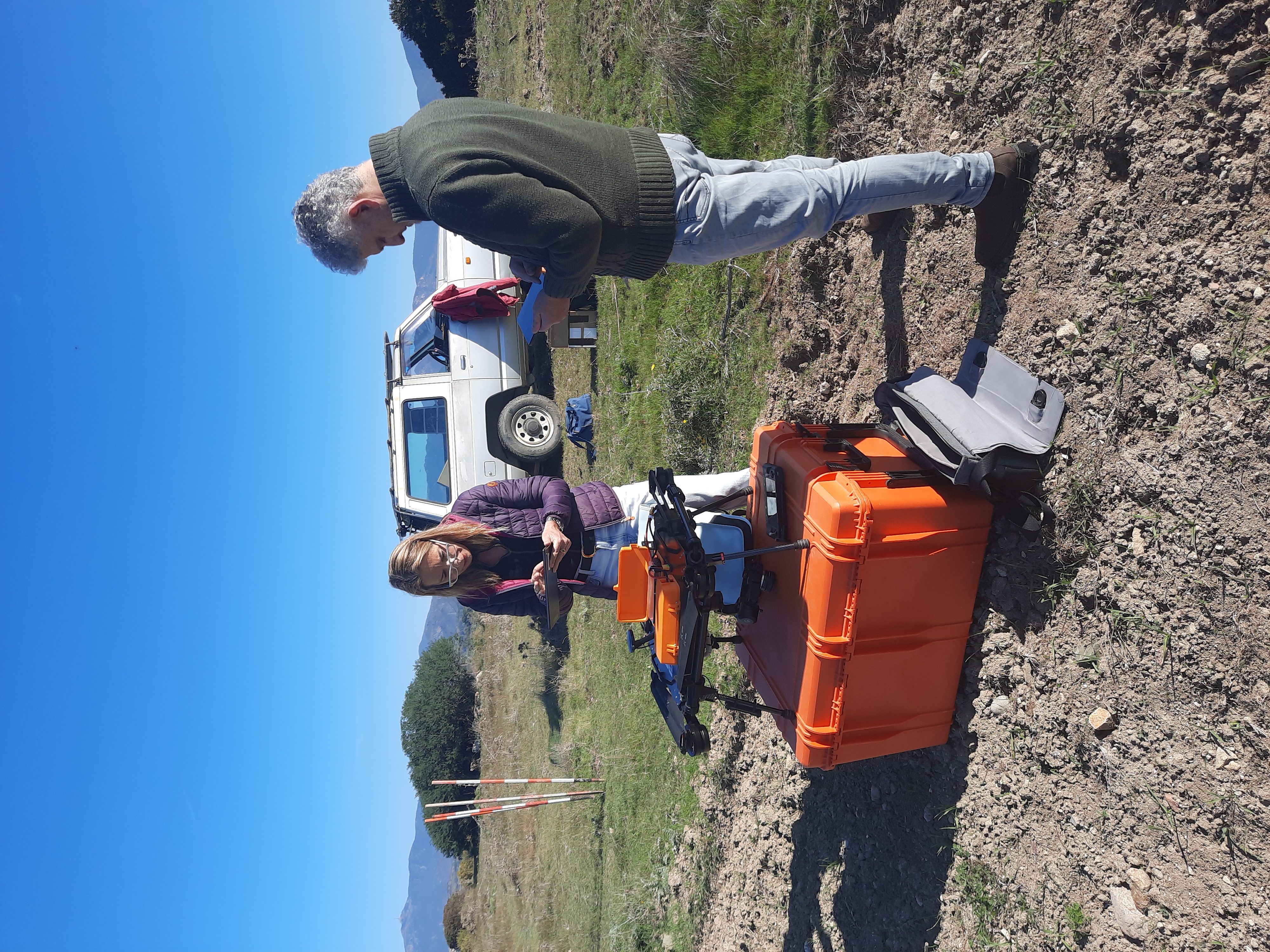
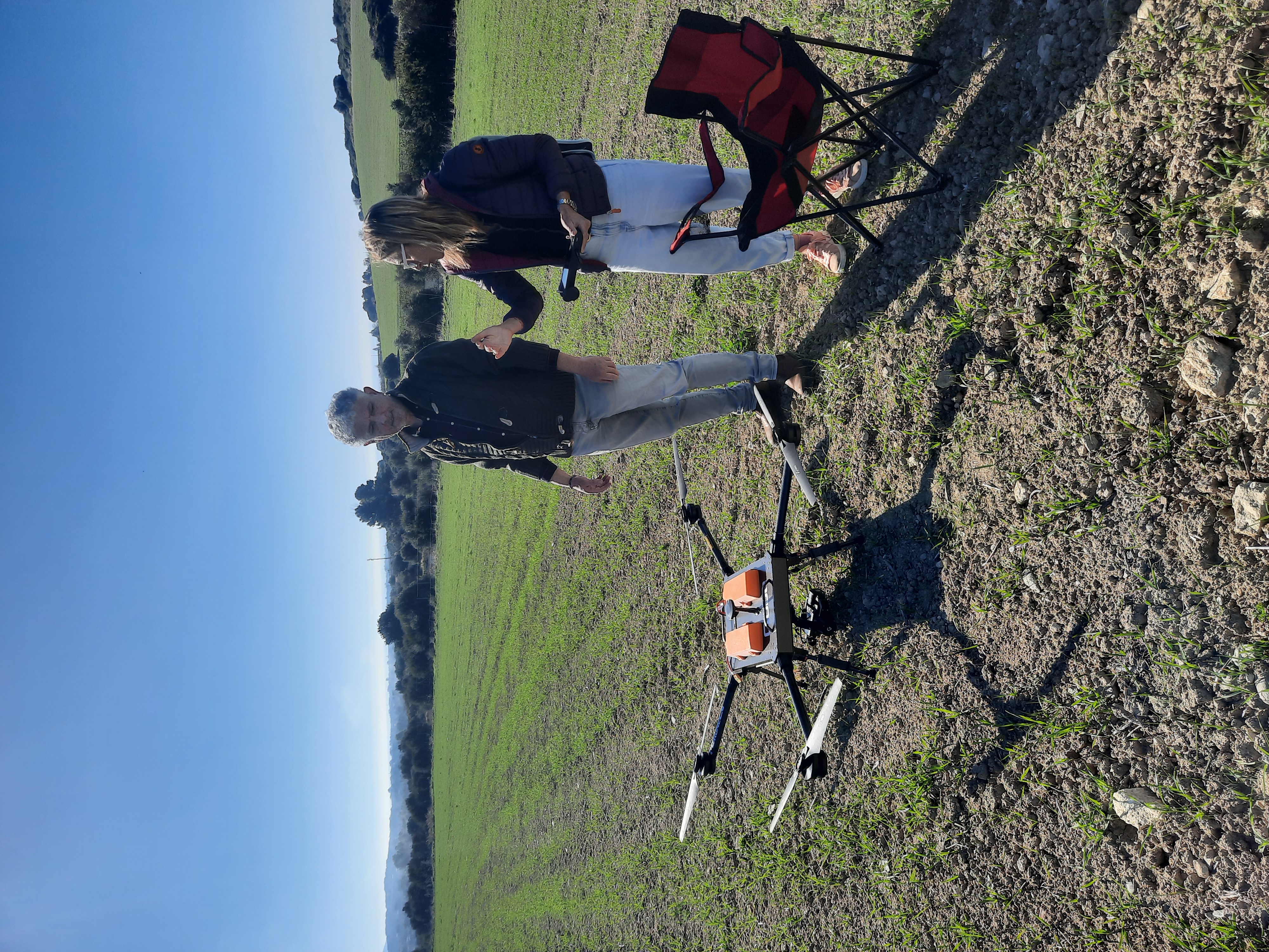
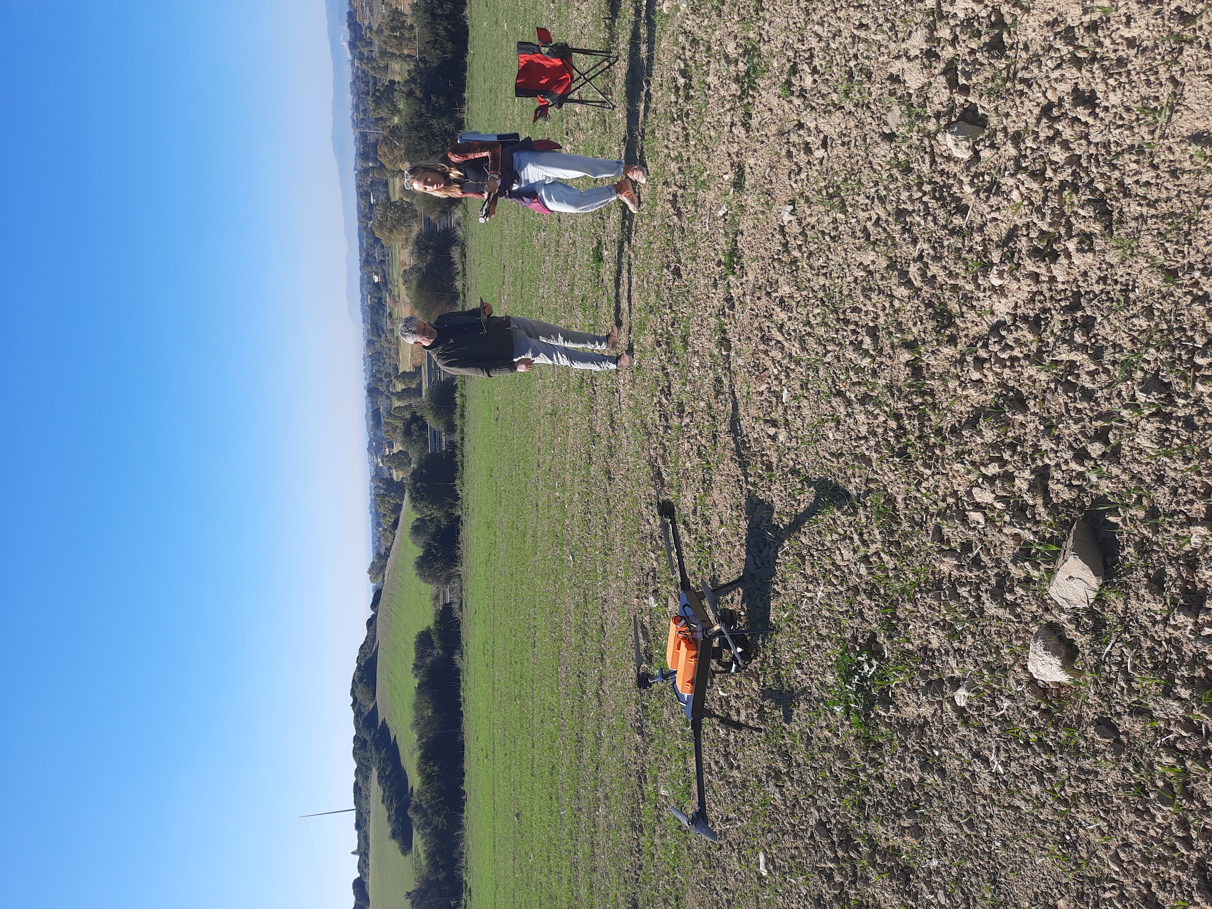
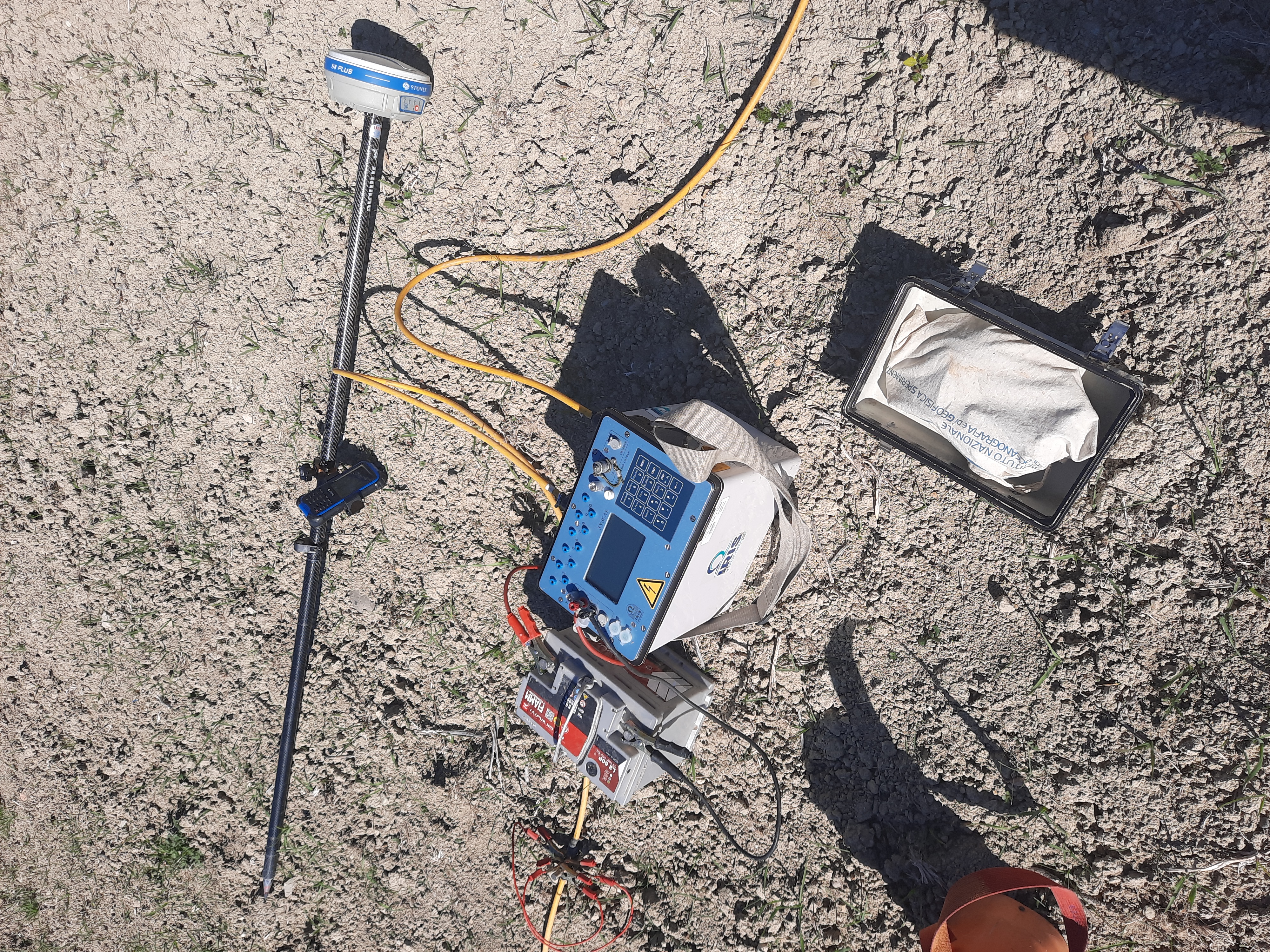
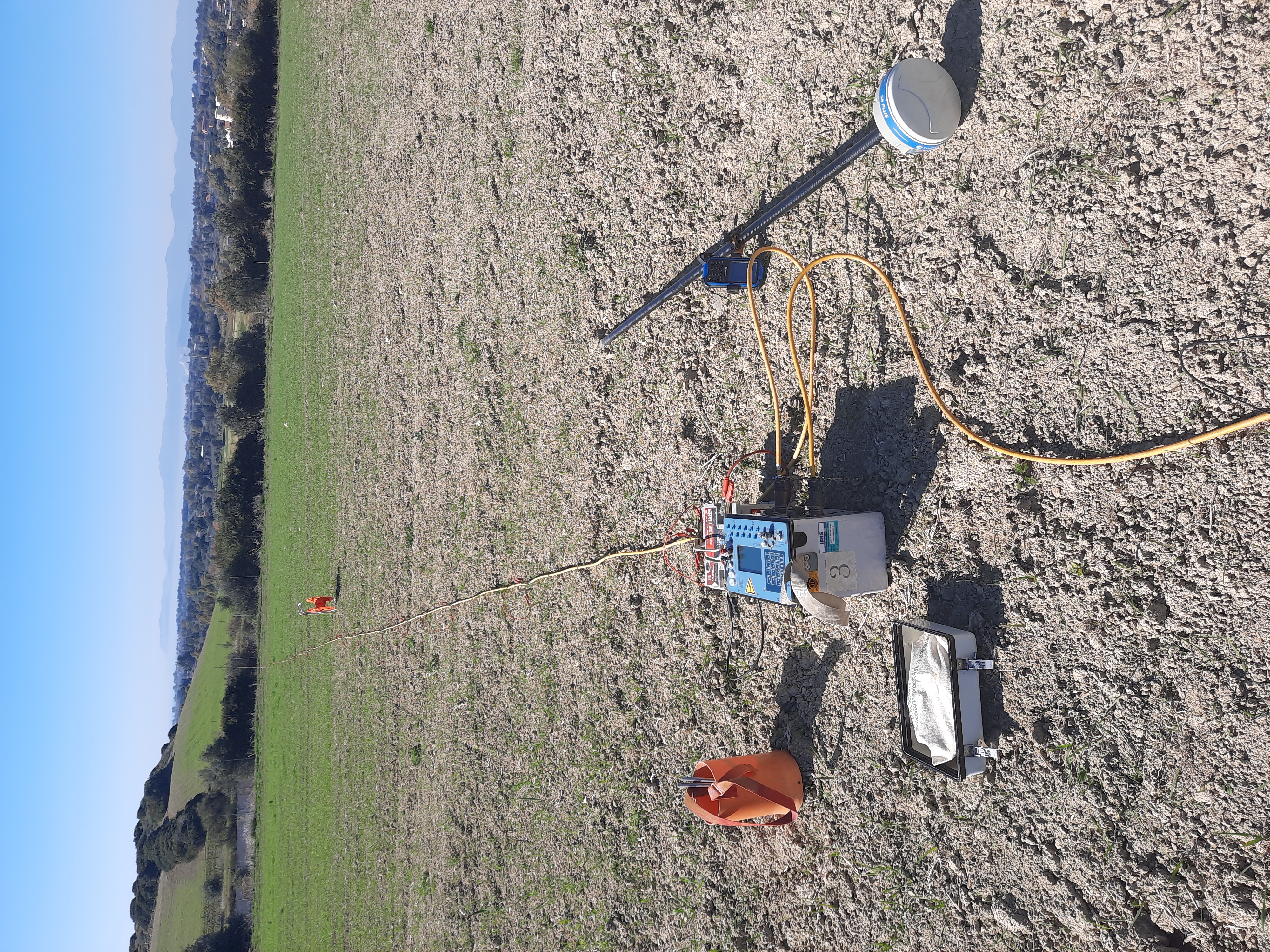
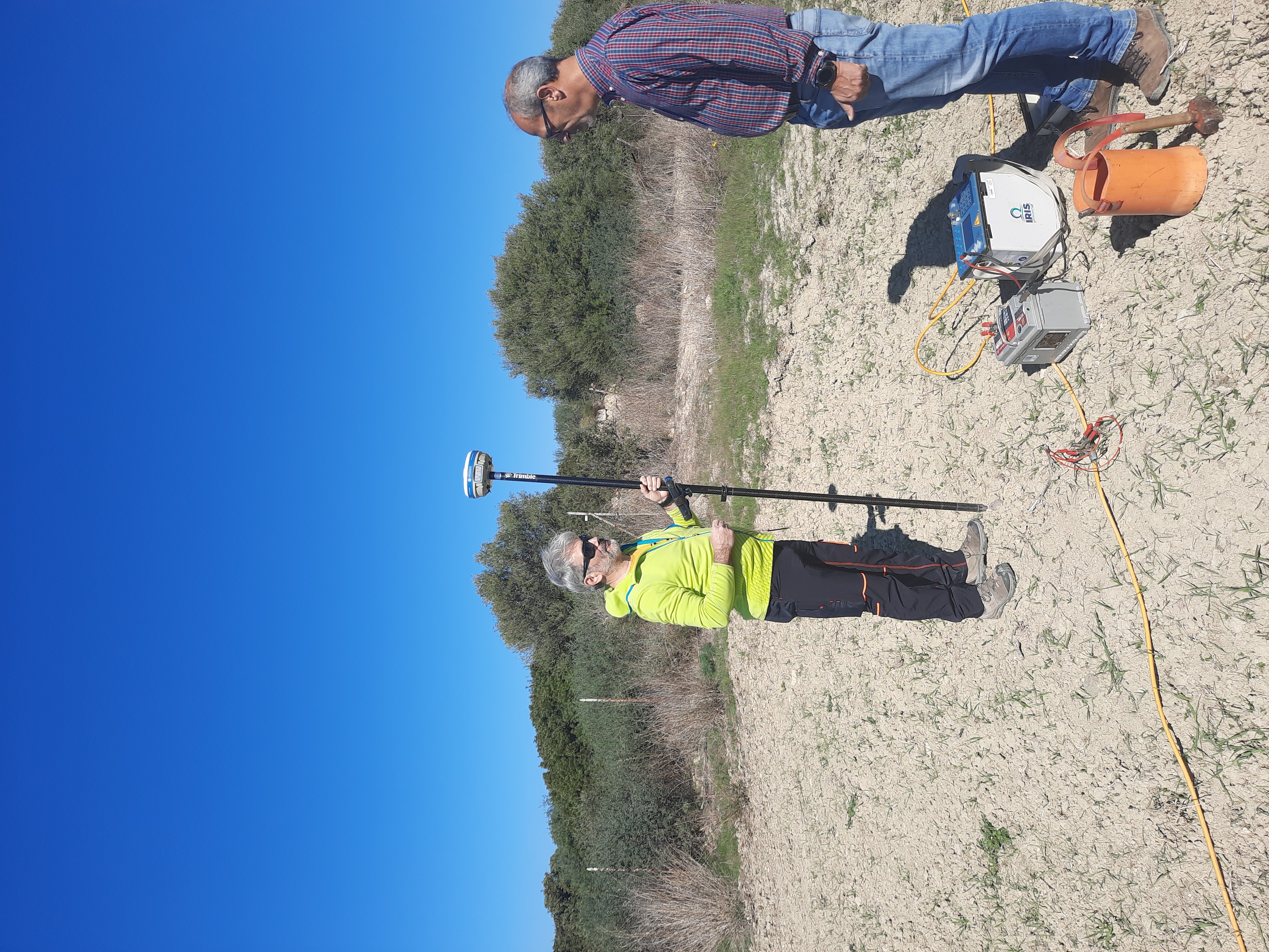
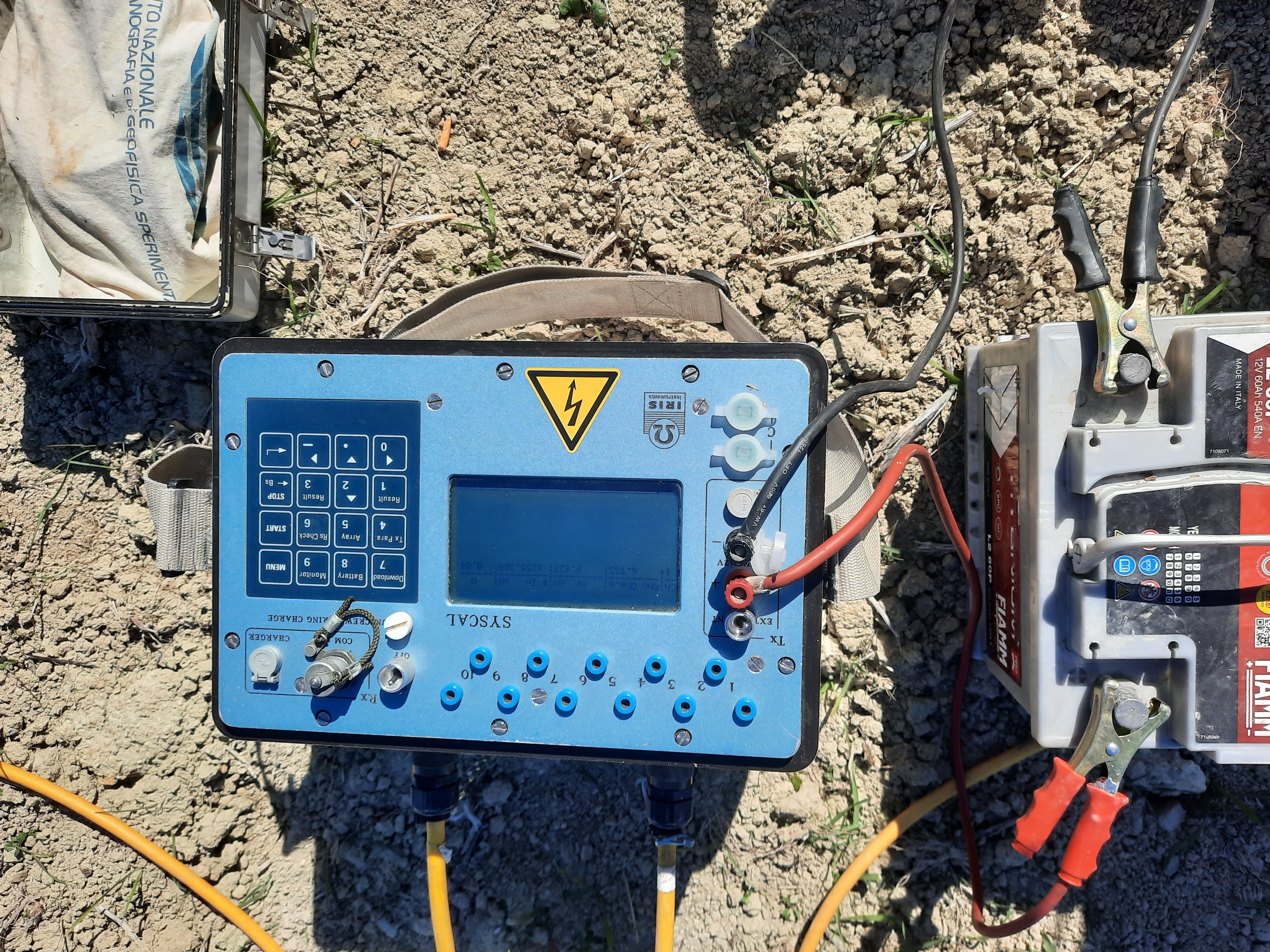
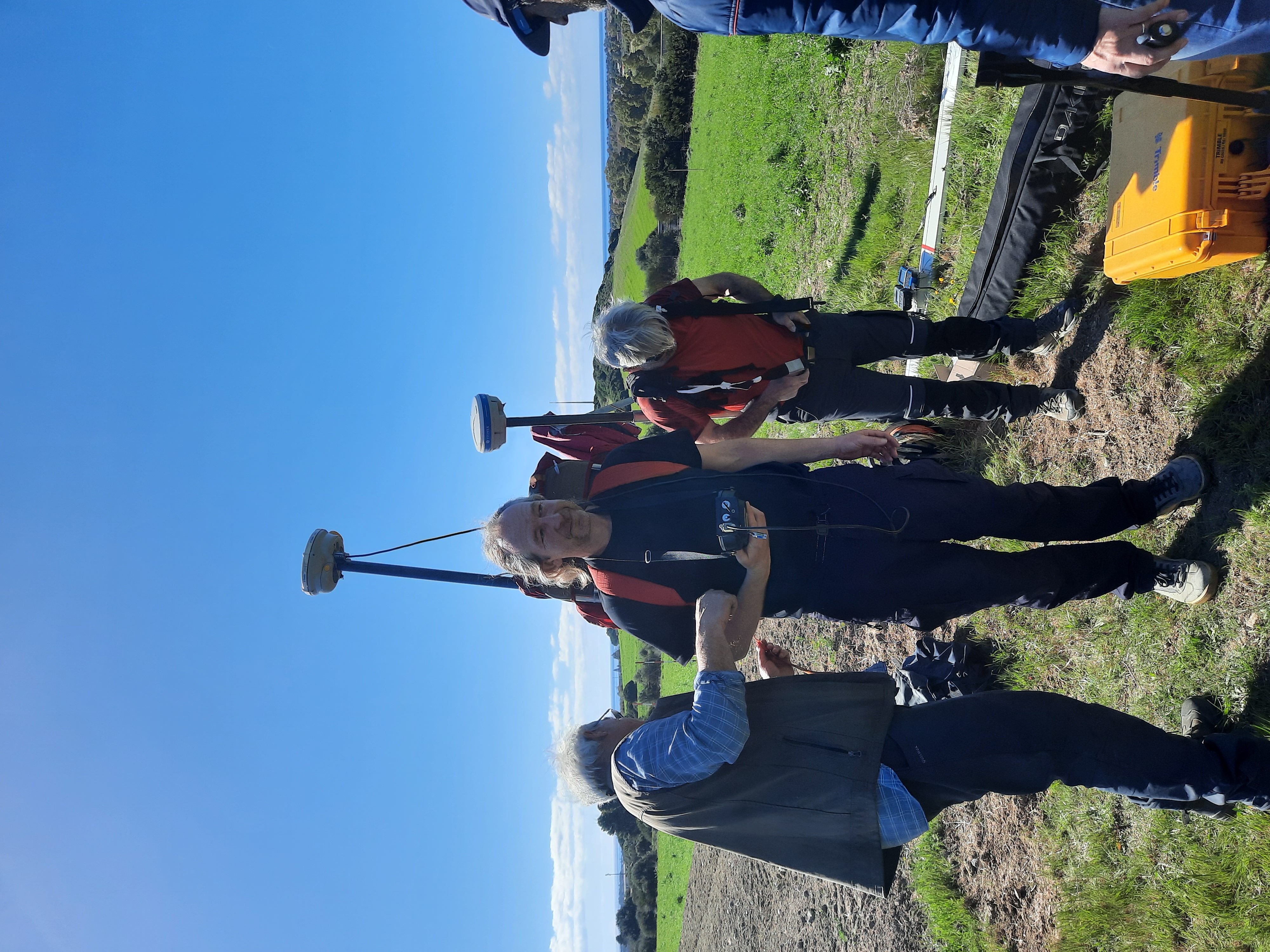
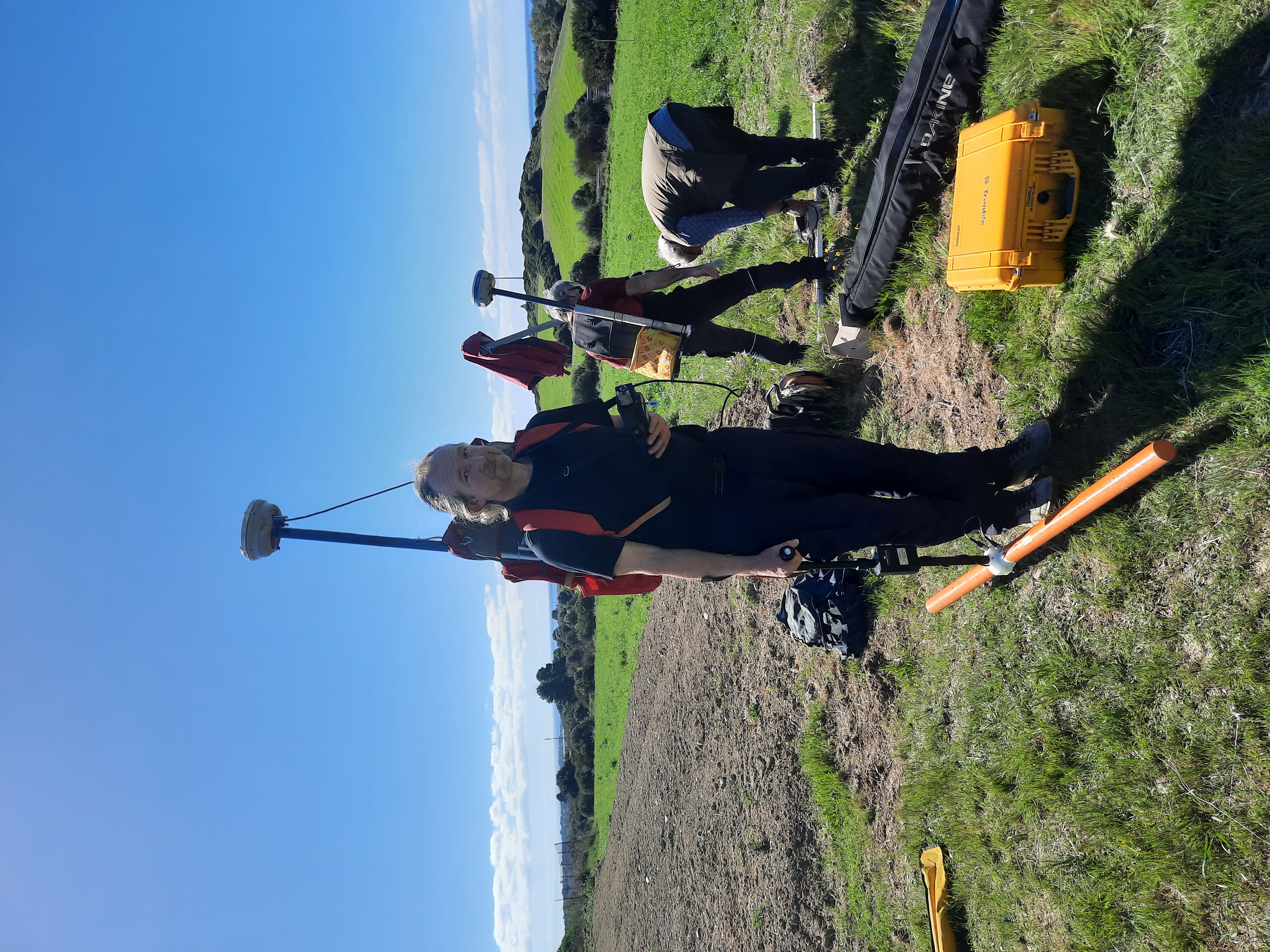
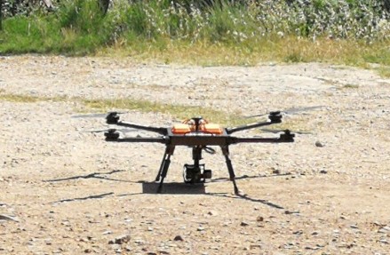
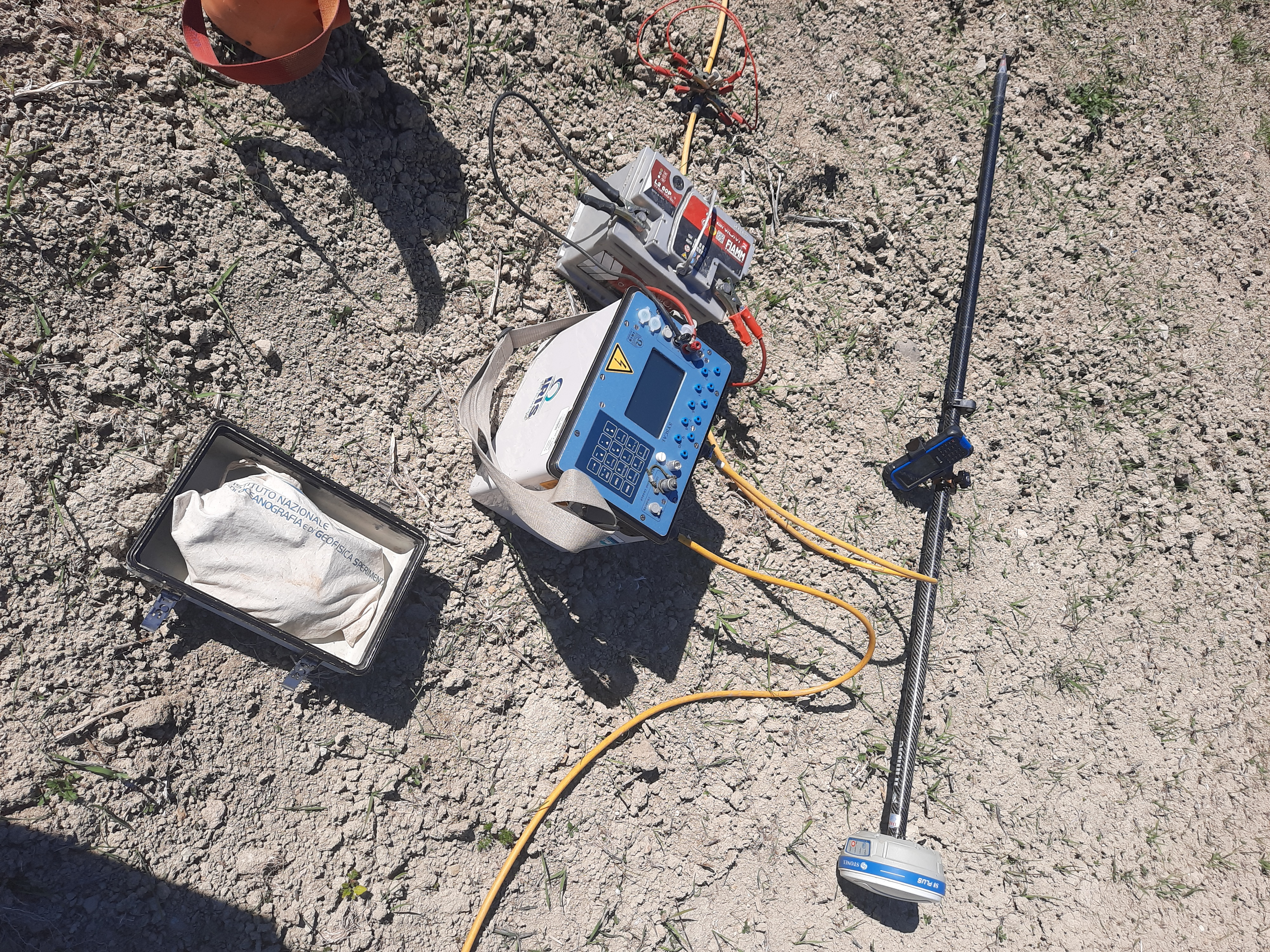
The project includes data analysis aquired with UAV surveys using different sensors: Lidar, Thermo camera, Multispectral camera, Optical camera and with two geophysical methods: geoelectrical resistivity tomography and frequency-domain electromagnetic induction
The main result is the indication of areas that might contain buried archaeological structures and the possible risk factors for the sites preservation. The results are managed in the ArchaeoSardinia Platform and published via Web GIS applications.
A methodology for the preliminary study of Nuragic and pre-Nuragic archaeological sites based on non-invasive technologies
A dataset processing aquired with UAV surveys using different sensors: Lidar Thermocamera, Multispectral camera and with two geophysical methods: geoelectrical resistivity tomography and frequency-domain electromagnetic induction
Surveys
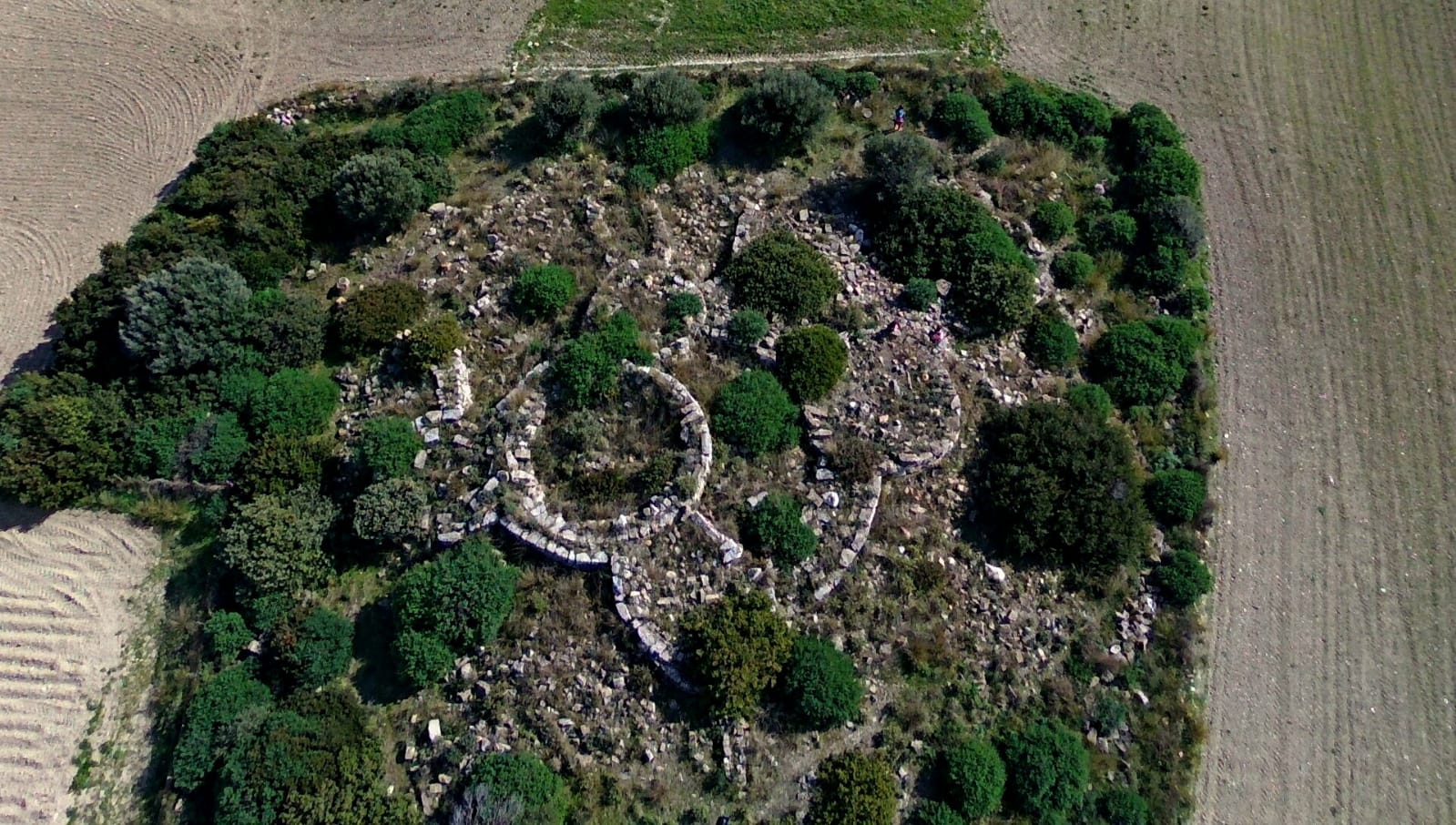
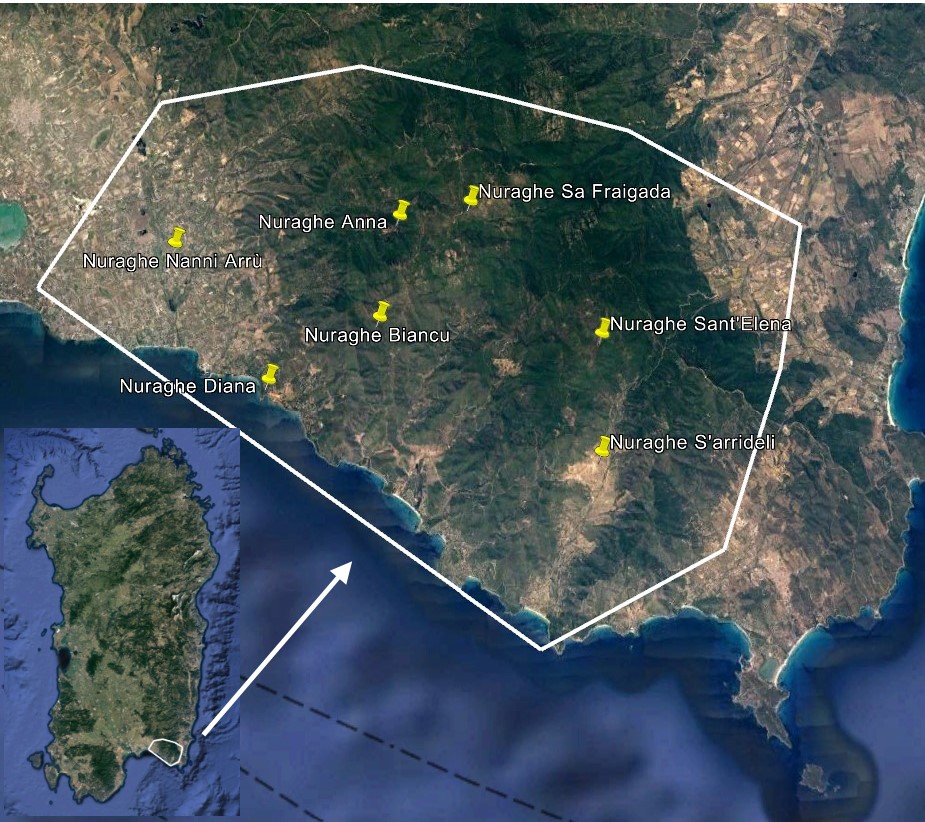
Studied sites
Remote Sensing Technologies
Data Layers
The ArchaeoSardinia project is also integrated with another initiative (NuraghEO), with same objectives, supported by European funds from the “OCRE (Open Clouds for Research Environments)” call, which provides a voucher for Earth Observation services access. Concerning the part of satellite data analysis, it was therefore possible to extend the study to an area comprising 6 other archaeological sites from the Nuragic period in addition to the Nuraghe Nanni Arrù.
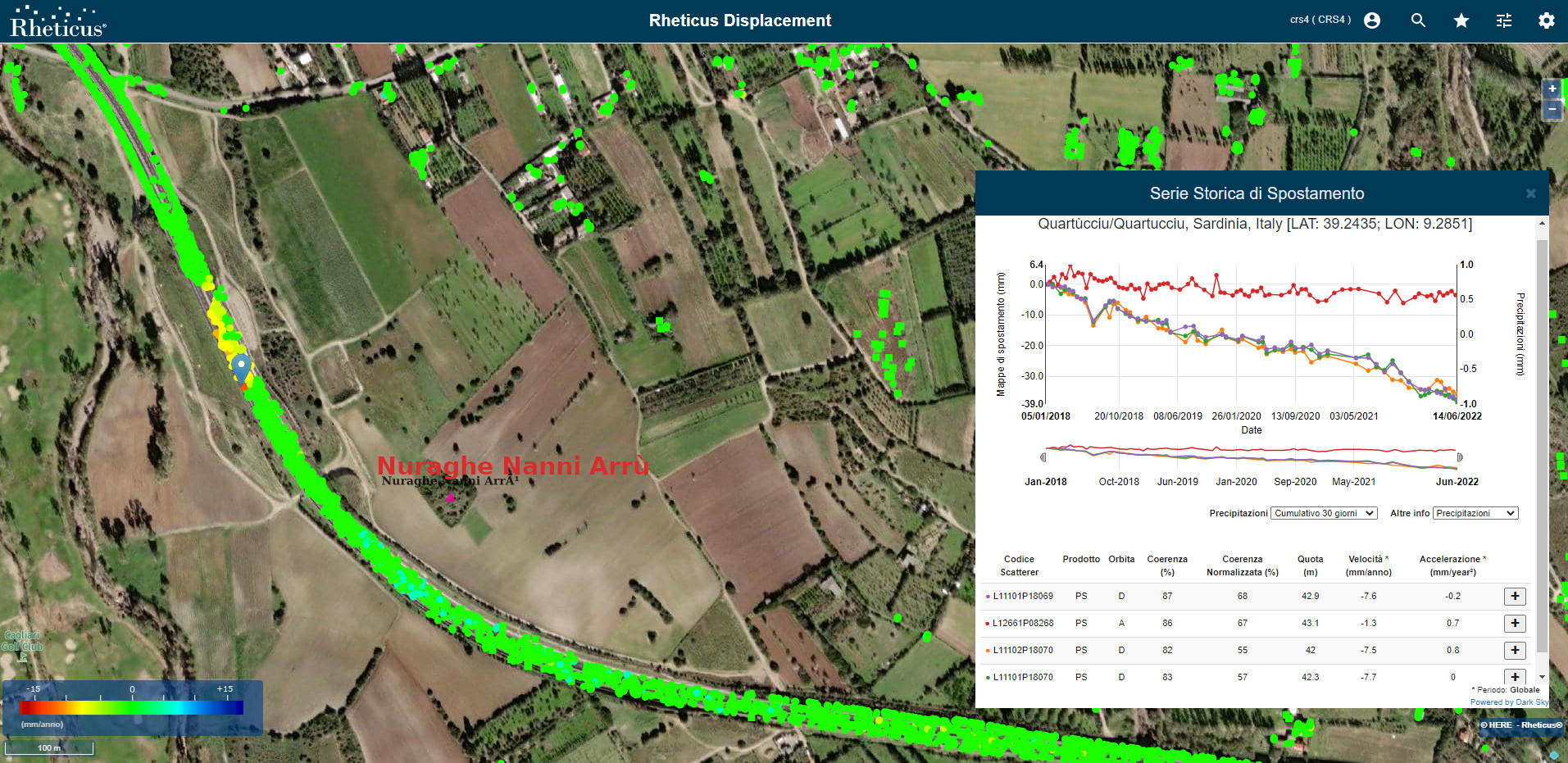
The OCRE-funded Earth Observation services, implemented by Planetek, are delivered through an access platform to a multi-sensor land monitoring service based on optical data and a multi-time interferometric analysis based on radar data
CRS4
Scientific project manager, Senior researcher at CRS4 in the Digital Technologies for Aerospace sector. Phd in geo-environmental engineering. Her research interests are focused on the GIS (Geographic Information Systems) technology and on the development of DSS (Decision Support Systems) tools in a broad spectrum of application domains. She coordinated project activities and managed relationship with the external actors involved. She conributed to the data analysis and produced the project reports.
CRS4
He works as a researcher in the sector of Digital Technologies for Aerospace. His research interests are centered on Geographic Information Systems (GIS) and on Decision Support Systems (DSS) applied in the environmental and territorial fields. He oversaw the design and implementation of the ArcheoSardinia ICT platform, carried out the drone surveys on the Nanni Arrù site, performed post-processing of the data, processed the Sentinel2 satellite data, published the resulting qualitative indices on the ICT platform.

CRS4
she works as a researcher in the Digital Technologies for Aerospace sector. Her research interests are focused on Geographic Information Systems (GIS) and on Decision Support Systems (DSS) applied to environmental and land fields. She carried out the drone surveys in the Nanni Arrù site, processed the images coming from the sensors on the drone in order to obtain qualitative indices.
CRS4
Researcher at CRS4 in the sector of Digital Technologies for Aerospace; master's degree and PhD in geophysics. His research interests are imaging and numerical geophysics, with particular attention to exploratory seismic, ground penetrating radar and electromagnetic methods in the frequency domain. Participated in the acquisition of apparent resistivity data at the Nanni Arrù site and collaborated in the creation and interpretation of the respective geolocated resistivity maps.
CRS4
Senior researcher at CRS4 in the Digital Technologies for Aerospace sector. His research interests are focused on the environmental modelling, numerical geophysics and imaging, with a focus on exploratory seismic, georadar and frequency domain electromagnetic induction methods. He was involved in the planning and acquisition of apparent resistivity data at the Nanni Arrù site and collaborated in the interpretation of georeferenced resistivity maps.