the Unmanned Aerial Vehicle (UAV)
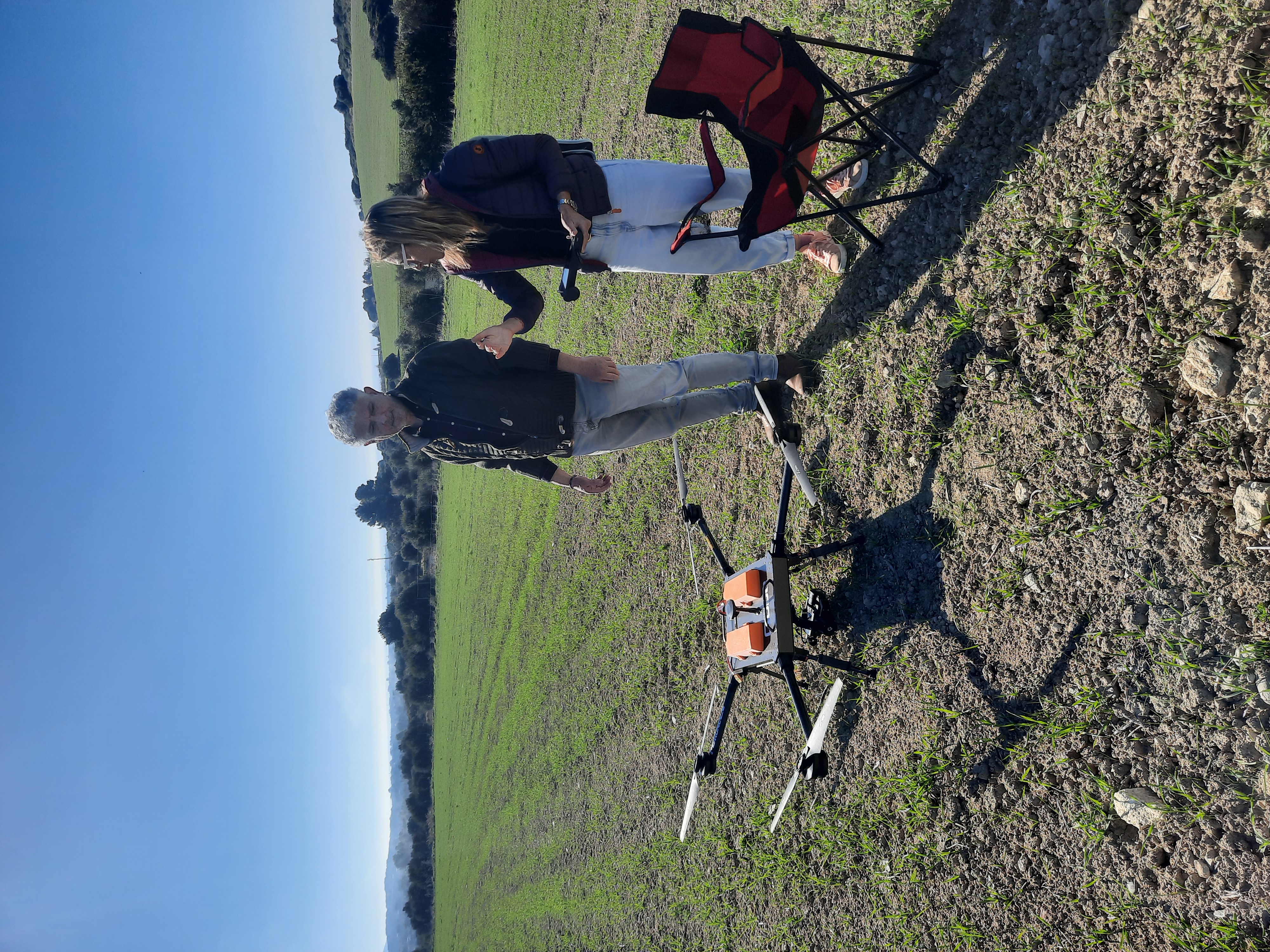
The UAV used in the surveys is a Quadcopter.
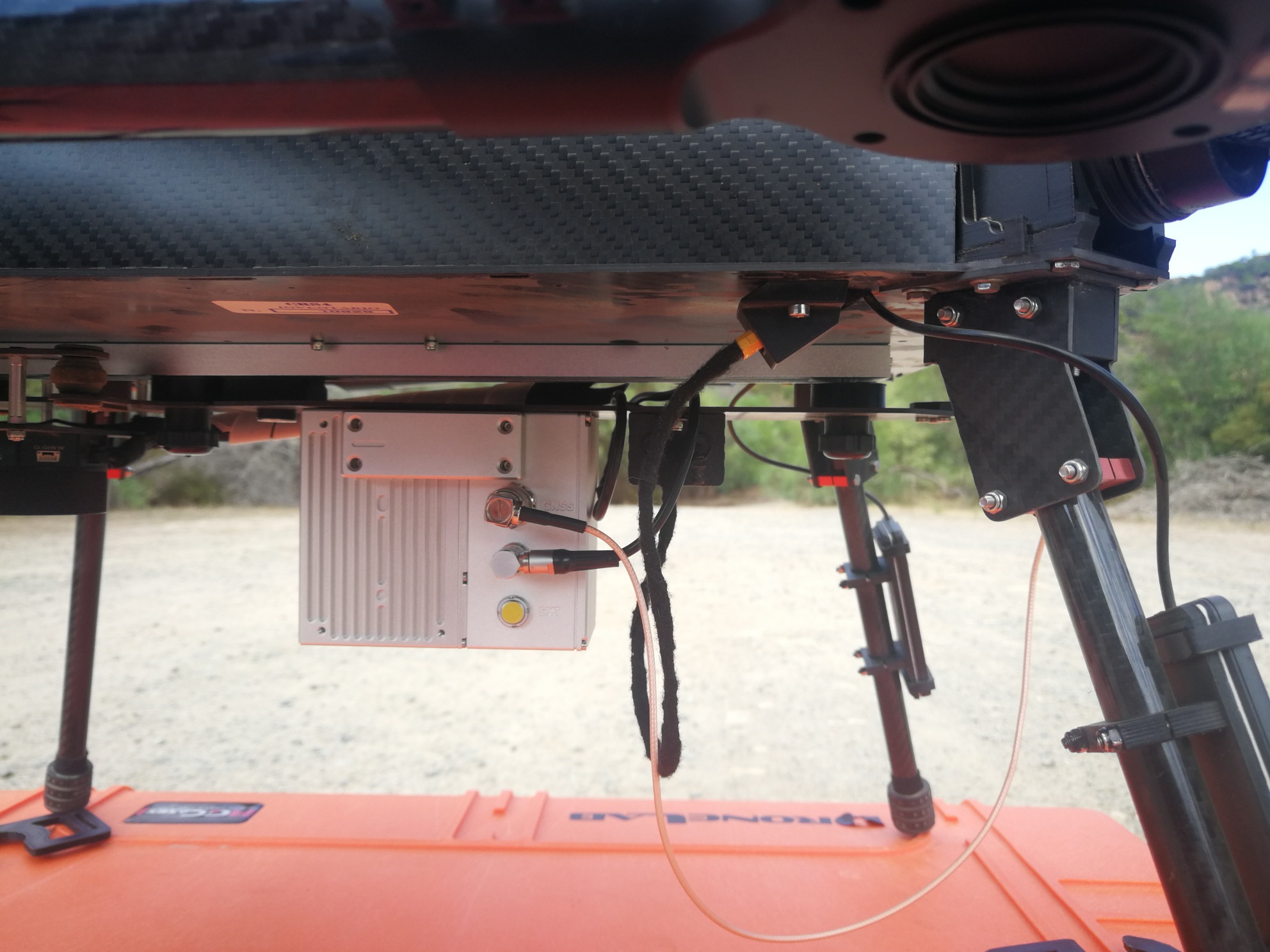
The sensors were mounted on the uav according to the survey to be carried out: multispectral, thermic, lidar and optical.
The surveys were carried out by Roberto Demontis and Eva Lorrai of CRS4.
The Lidar
The Lidar used in ArcheoSardinia project is the GeoSun GS100M system.
Il LiDAR (Light Detection And Ranging) is a Laser Scanner system generally mounted on board aerial platforms or helicopters.
The system emits an optical pulse using a laser and the echo return time is accurately measured.
Time is transformed into distance to the target using the speed of light.
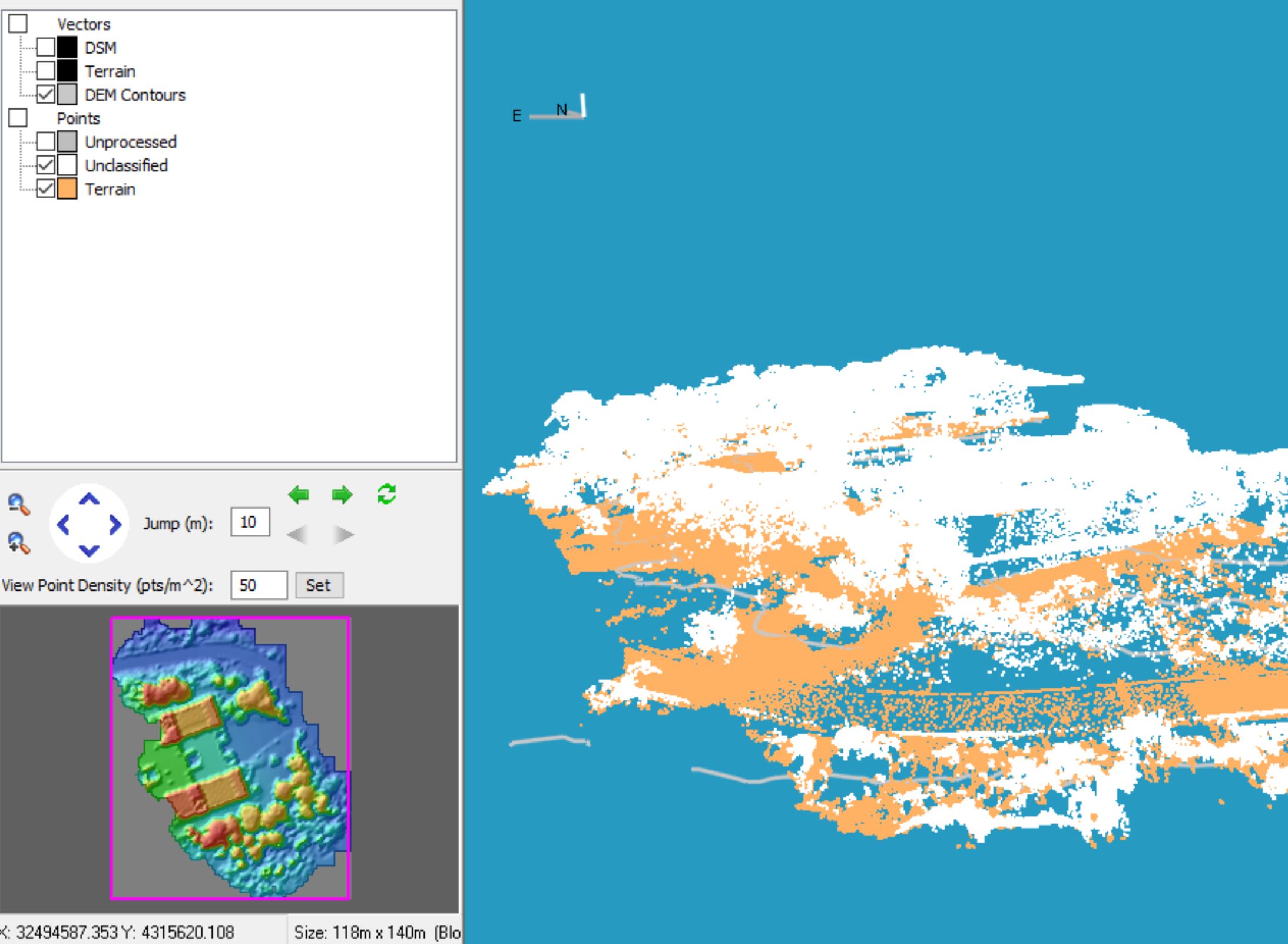
LiDAR is defined as an airborne system used to acquire the shapes present on the ground (both natural and man-made) through the determination of x, y, z coordinates of a set of points (point cloud).
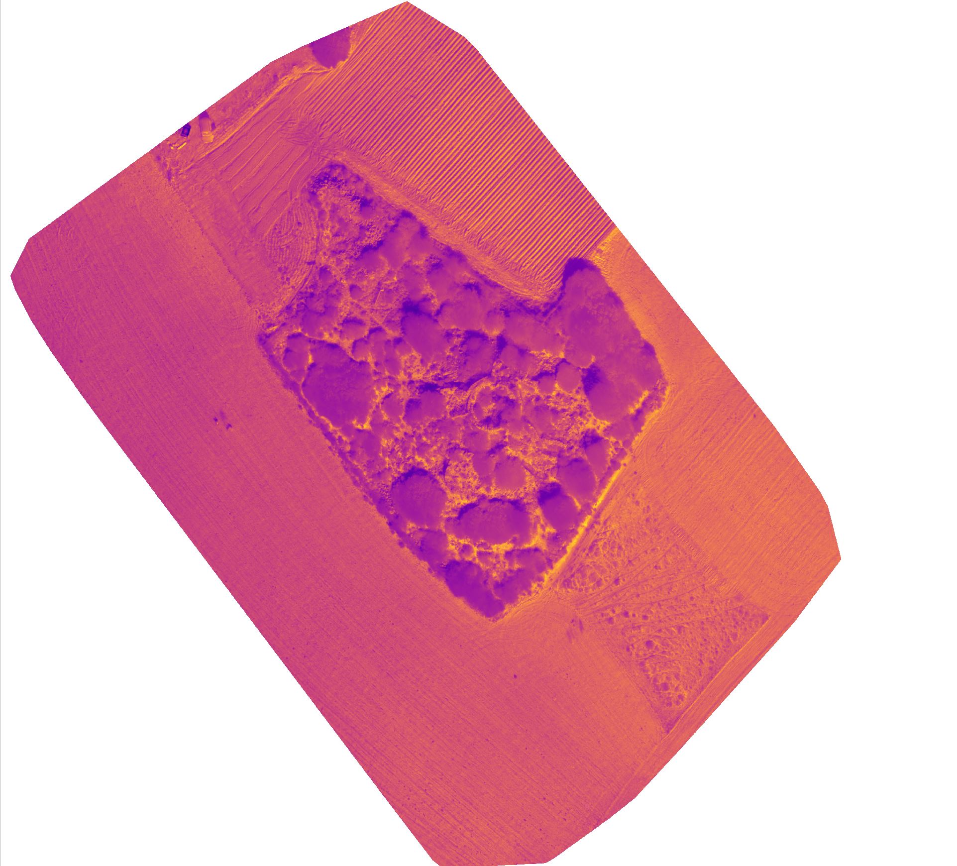
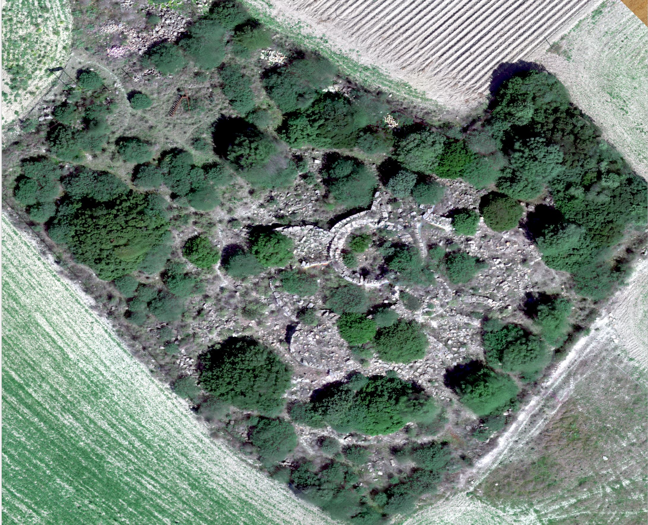
In Archaeo Sardinia the LIDAR sensor mounted on the Drone has made possible the definition of an extremely accurate DTM (Digital Terrain Model) as the lidar allows the exclusion of a large part of the vegetation present on the site.
The lidar would also allow the creation of 3D models of buildings with the addition of the optical sensor but in the case of the Nanni Arru nuraghe, since this is partially buried, only the creation of the DTM was opted for
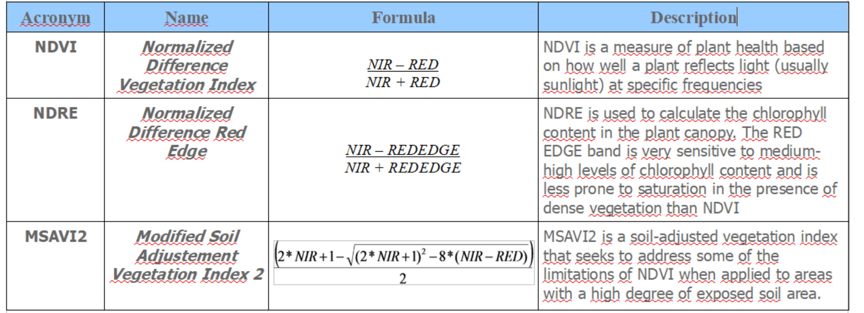
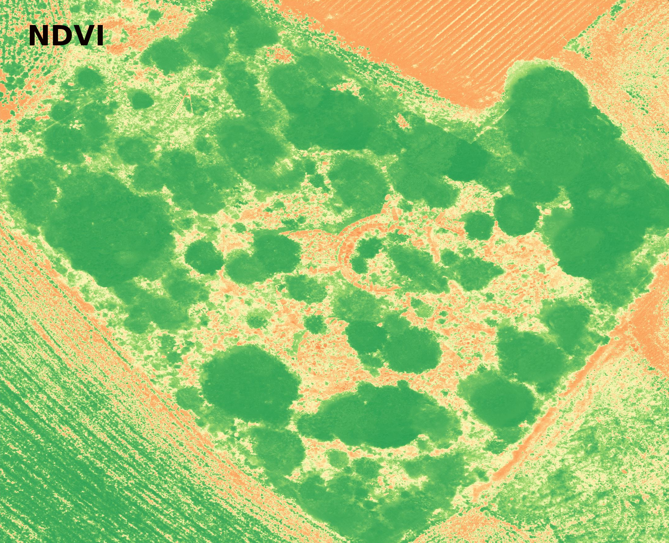
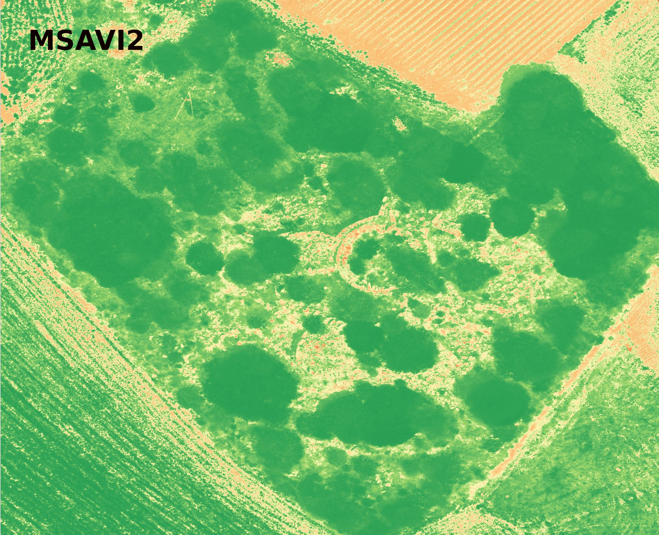
The multispectral camera
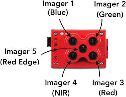
The multispectral camera used in ArcheoSardinia project is a Micasense Rededge M the GeoSun GS100M system.
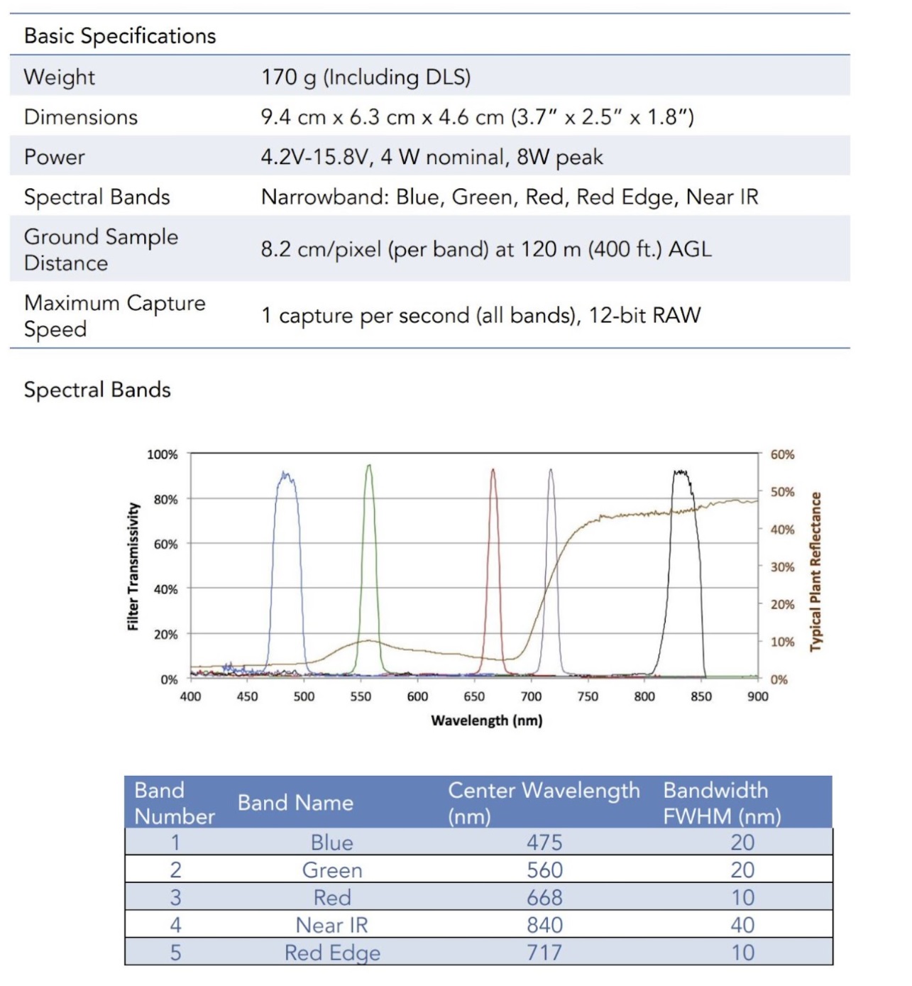
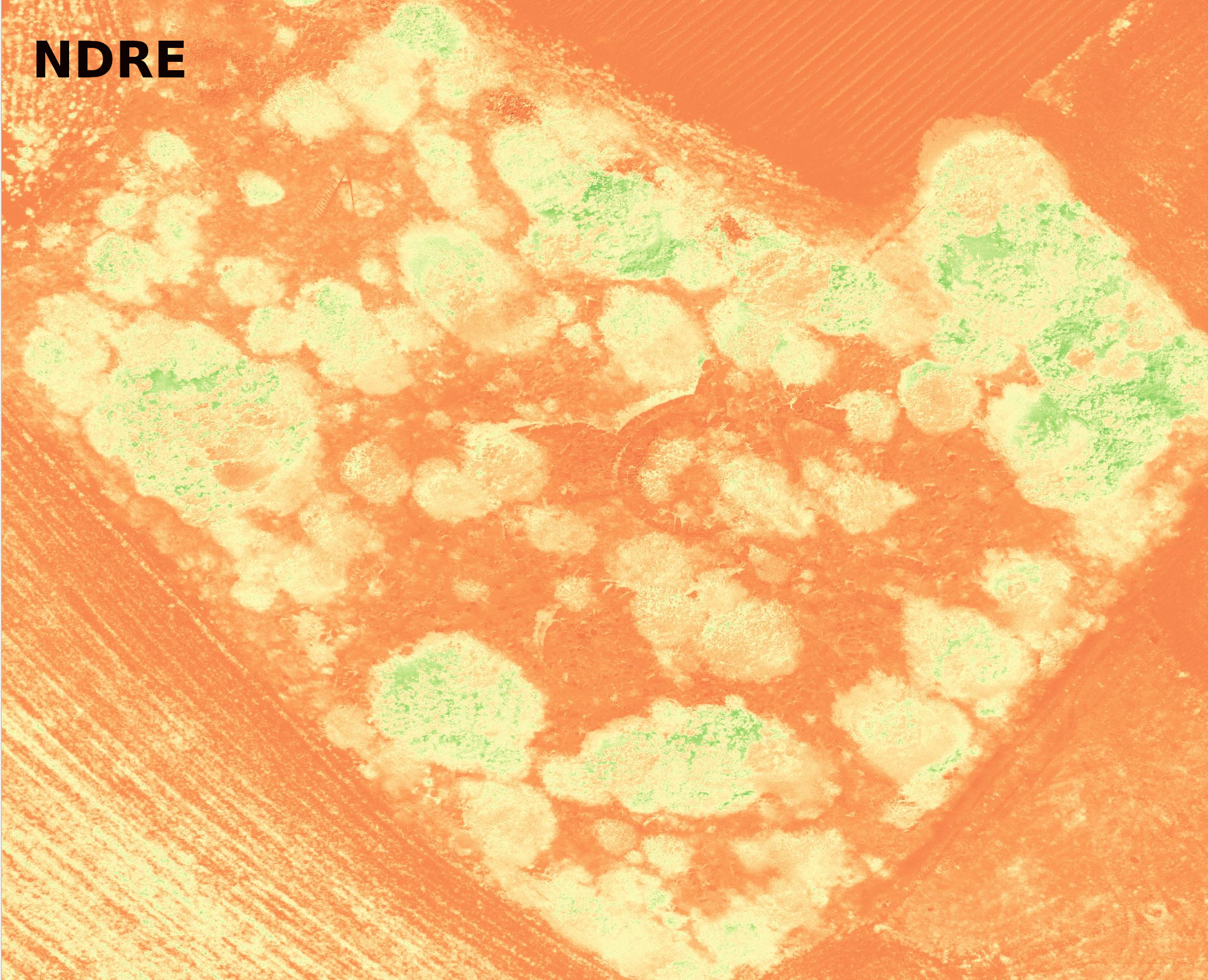
The calculated indices using camera data are:

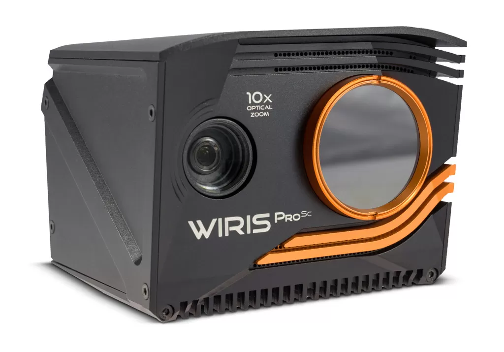
The Thermic camera
The thermic camera used in ArcheoSardinia is a Workswell Wiris-Pro equipped with an LWIR microbolometric sensor with 640x512 pixel resolution (in the 7.5 - 13.5 μm range).