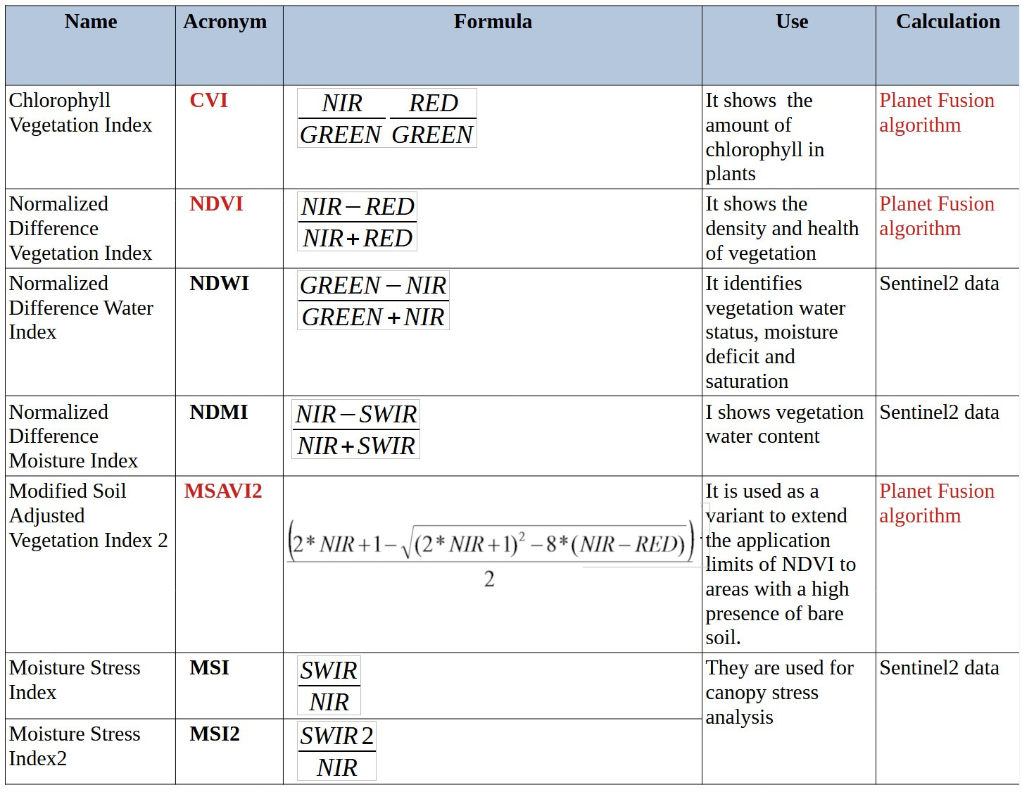
For the optical part was used a multi sensor data fusion approach, mainly based on the innovative Planet Fusion Monitoring product and Sentinel2.
The PlanetScope constellation of 100+ CubeSats in low earth orbits represents a novel observational resource, which when combined with advances in conventional spaceborne sensing has resulted in a proliferation of satellite sensor data with unprecedented spatial, temporal, and spectral resolution.
The Planet Fusion Monitoring consists in an improved, rigorous methodology to enhance, harmonize, inter-calibrate, and fuse cross-sensor data streams. Based on the CubeSat-Enabled Spatio-Temporal Enhancement Method (CESTEM), it leverages rigorously calibrated publicly accessible multispectral satellites (i.e., Sentinel, Landsat, MODIS) to work in concert with the higher spatial and temporal resolution data provided by Planet’s Dove CubeSats.
Planet Fusion Monitoring ingests data from multiple sensors with differing radiometry, quality, and resolution characteristics in order to produce an entirely new, sensor-agnostic dataset that inherits the best traits from each sensor (i.e. temporal and spatial resolution of PlanetSCope) while ensuring radiometric consistency with a suite of widely used satellite platforms (i.e. spectral resolution of Sentinel-2/Landsat 8/9).
The result is a next generation harmonized Analysis Ready Data (ARD) product, which delivers a clean (i.e. free from clouds and shadows), temporally consistent, and radiometrically accurate surface reflectance (SR) data product at 3m spatial resolution with a daily frequency.
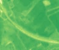
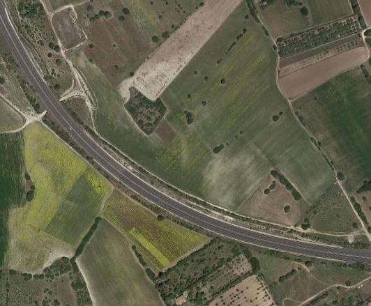
Satellite images analysis to detecction possible crop and soil mark anomalies are a valid support to archaeological studies to detect buried monuments.
The analysis was carried out over a period of 48 months. The following table shows the list of used indices.
Time Series Viewer of NDVI and MSVI2 indices of the Nanni Arrù site.